Help
Panning and Zooming

Use the navigation controls on the top left of the map window to
- move up, down, left, right
- zoom in (+) and out (-)
Mouse-wheel can also be used to zoom in and out.
Choosing Base Map Layers
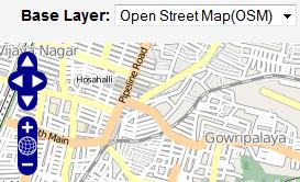
You can choose one of five base (background map layers) from the 'Base Layer' drop-down menu on the top-left of the map window.
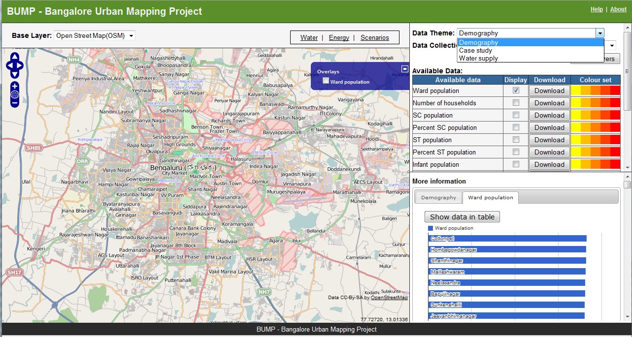
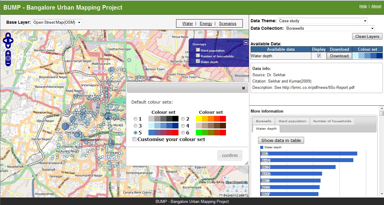
Selecting Map Overlays
Select individual map layers from three themes and related collections
After selecting, it will be overlaid in the map window automatically.
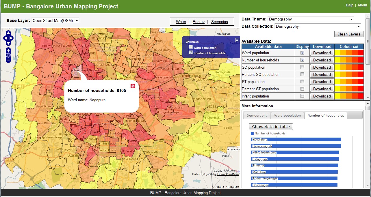
In the example below:
- Two map layers have been selected, and the map refreshed.
- By default, the last layer selected is active in the Overlays control.
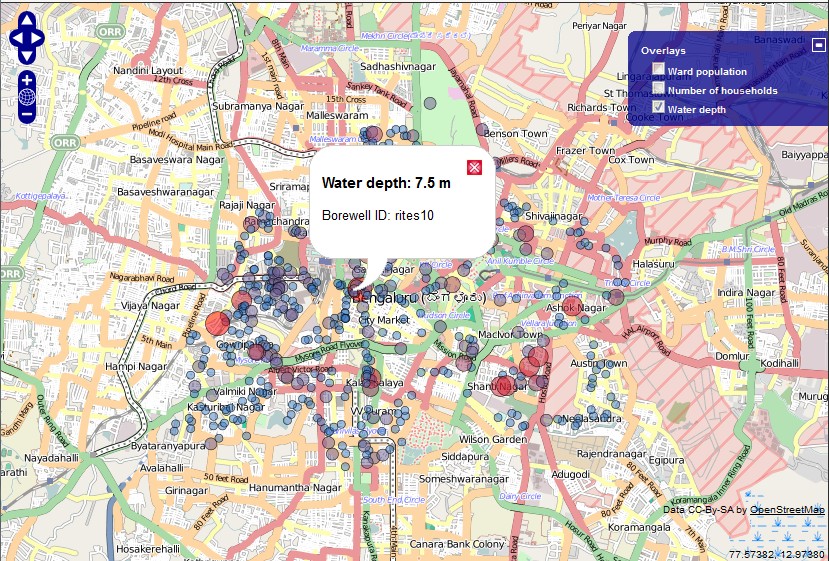
- This can be toggled on and off as you please. You can have more than one layer active The colour of each layer can be customized as you please by clicking on 'Colour Set' Clicking on a map layer object (in this example, a ward), reveals information about that ward The information revealed depends on your selection of the active map layer. In this example, 'No. of houeholds was selected':- therefore that is the information in the pop-up.
Choosing a different colour-scheme
In the example below:
The 'Case Study' Data theme, and borewells collection were selected Clicking on 'Colour Set' brings up a Colour-picker window. Select a different colour theme and click 'Confirm'.
With the result :
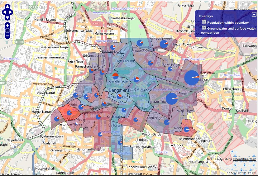
An interesting example: try this
The map below is obtained by combining two type of map layers. Re-created as follows:
- Select 'Case Study' Data Theme, and 'Wards' Data Collection
- Select the 2 map overlays indicated below,with appropriate colour selections
Interesting patterns of total water consumption, surface water vs/ groundwater, and population are revealed: for example
- Some wards have high population, but low overall water consumption
- A few wards have much higher water supply from groundwater