measurements

Groundwater measurements ongoing: Video

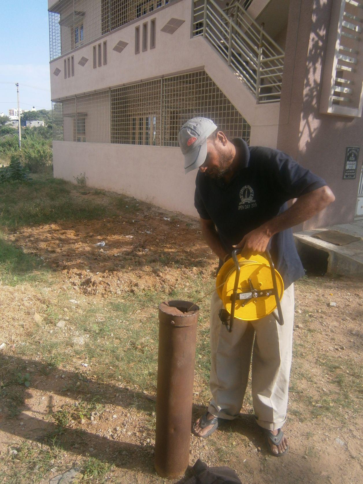
Since December 2015, the Bangalore Urban Metabolism Project has been measuring groundwater depths in 150 locations in Bangalore, every month. This video shows one such measurement, near Avenue Road, made by Giriraj and Sanjeeva, from the Indian Institute of Science.

Although each measurement takes only a few minutes, traveling through Bangalore traffic takes hours. On October 24th, 2016, I joined P Giriraj and Sanjeeva Murthy for a day in which we measured groundwater depth at 15 locations in different parts of Bangalore. Just 15 measurements on a day took 8 hours, thanks to traffic!


Video captured by Dr. Vishal Mehta, Stockholm Environment Institute.

Groundwater levels from 2007 to 2013

Measurements of groundwater levels in Bengaluru by students

This map layer compiles more than 1000 measurements of groundwater levels in different parts of the city since 2007. Under the guidance of Dr. Muddu Sekhar, Associate Professor in the Dept. of Civil Engineering, various Indian Institute of Science (IIsc) student research projects have been conducted over recent years within Bengaluru city limits.

This interactive map layer compiles the entire data collected between 2007 and 2013. Clicking on each point brings up corresponding information for that point. This includes groundwater levels for each point, in metres below ground level. The date on which the measurement was taken is also listed.


Acknowledgements

Thanks to the students and field research teams who collected the data, and to to Dr. Muddu Sekhar for data access. Special thanks to current IISc research staff, P. Giriraj, Sanjeeva Murthy, and Manish Gautam.

Visualization by SEI’s Douglas Wang and Vishal Mehta.